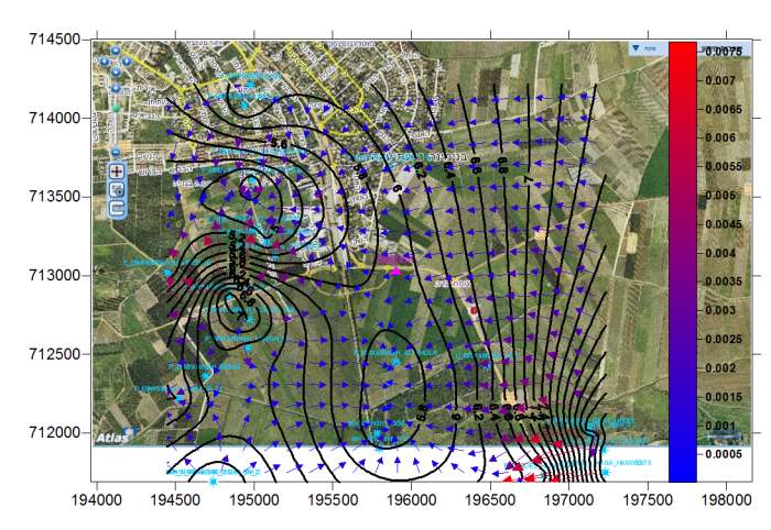
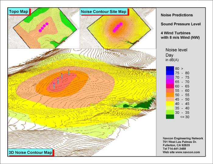
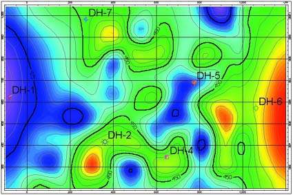
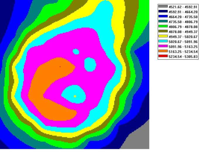
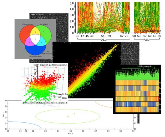
ED Technologyuses advanced contour software such as SURFER 8.0; ESRI ARCView with analysis tools, with the uses of scientific advanced software in a MATLAB –Simulink platform.
PHOTO Analysis
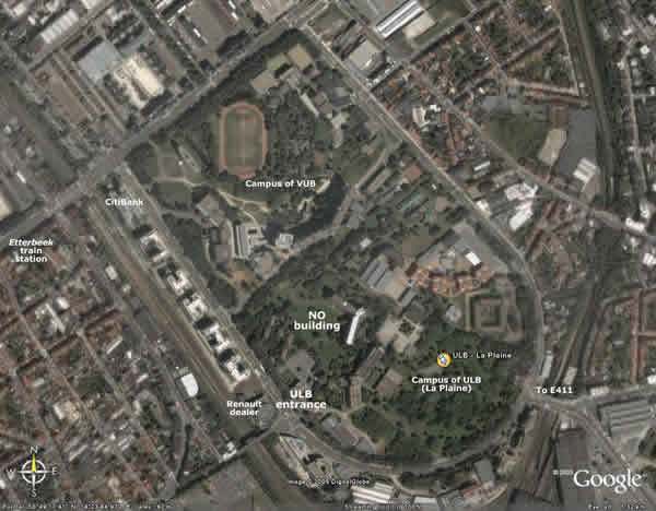
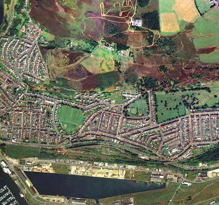
ED Technologycustomizes various computerized systems to meet the client’s specific requirements. These include software for image processing of aerial photo, satellite photos and digital photos.
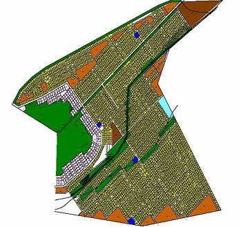
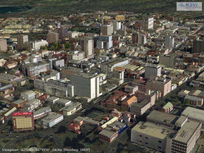
Town Planning
ED Technologycustomizes various computerized systems to meet the client’s specific requirements. These include Planning CAD system and GIS software.